About
The USGS maps how much carbon is sequestered in ecosystems using stream gauge, soil, and natural-resource inventory data, remote sensing techniques, and computer models.
USGS LandCarbon Team
Assessment
-
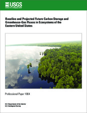
Eastern Region
-
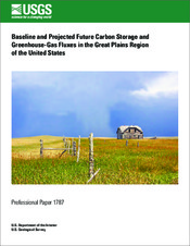
Great Plains Region
-
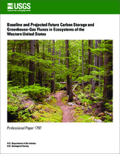
Western Region
The suite of data products and visualization tools presented here are developed as part of a national ecosystem assessment conducted by the U.S. Geological Survey (USGS). The carbon sequestration and greenhouse gas (GHG) flux assessment was mandated by the Energy Independence and Security Act of 2007 (EISA), which directed the U.S. Department of the Interior to conduct a national assessment to quantify:
- The amount of carbon stored in ecosystems
- The capacity of ecosystems to sequester carbon
- The rate of GHG fluxes in and out of the ecosystems
The assessment focused on changes in carbon stocks and fluxes in all the major ecosystems, and on the major natural and anthropogenic processes that control carbon cycling (such as climate change, land use, and wildland fires). The GHGs considered in this assessment were carbon dioxide (CO2), carbon monoxide (CO, from wildland fires only), dissolved inorganic carbon (DIC), methane (CH4), and nitrous oxide (N2O).
The assessment was conducted using a methodology framework that
- links land use, land management, fire disturbance, and climate data with statistical methods and process-based biogeochemical models to generate spatially and temporally explicit carbon storage and GHG flux estimates
- uses remote sensing input data, existing resource and soil inventories, climate histories, and measurements made by a national network of streamgages
- applies a set of future land- and climate-change scenarios to the assessment to estimate a range of carbon stocks and sequestration rates in ecosystems
Ecosystems
The major ecosystems evaluated in this study are both terrestrial (forests, wetlands, grasslands/shrublands, and agricultural lands) and aquatic (rivers, lakes, estuaries, and coastal waters). The assessment, as well as the data products available here, is organized at a regional scale based on ecological regions (ecoregions) adapted from a U.S. Environmental Protection Agency ecoregion map.
The data products available at this site have different temporal dimensions but generally ranging from 1992 to 2050. Between 1992 and 2005, the data are considered estimated values of baseline by the assessment. Between 2006 and 2050, the data are considered projected values under different land and climate-change scenarios. For more information about the temporal ranges, as well as other technical details of this assessment (including definitions, methods, and interpretations), readers are referred to assessment publications available here.
Understanding Uncertainty
Uncertainties that exist in the data products are the results of the estimation and projection methods used for the assessment. Major sources of uncertainties for baseline (1992-2005) data products include assumptions made in structure and parameterization of specific methods and models used in the assessment, relations and integration of these methods and models, and input data availability and quality. The use of land- and climate-change scenarios in the assessment, as part of the carbon modeling, is an additional source of uncertainty for the projected (2006-2050) data products.
Because of the specific methods used in the assessment, the uncertainties are distributed both in temporal and spatial dimensions and they vary by product, location, and specific use. Along the temporal dimensions, mean values of baseline and projection years should be used instead of any given individual years. Along the spatial dimensions, data aggregated to the scale of ecoregions should be used instead of the individual pixels or over relatively small areas of the maps. In addition, the available multiple models and scenarios provide users with ranges of values for a given estimate, which may be used as a means of quantifying the spread of uncertainties.
Suggested Use
Although the data products are delivered as digital maps with a specific pixel size, they should not be used at the individual pixel level or on small groups of pixels. The data products were designed to support national (all states) estimations and projections of carbon stocks and sequestration in ecosystems, and regional (the EPA ecoregions) science and land management applications.
The applicability of the data products to support science and land management applications will vary by product, location, and specific use. In general, the use of mean values for baseline and projection years, and estimates aggregated over ecoregions, is advised. Further investigation by regional/local experts will help inform decisions regarding specific applicability. However, it is the responsibility of the user, using metadata and local knowledge, to determine if and/or how the data products can be used for particular areas of interest.