Forest Stand Age
- /ecoregions/
Now Showing: 2006
Summary
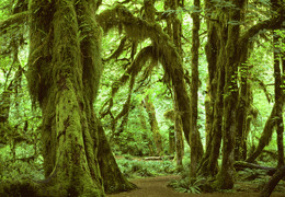
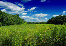
Forest structure has a significant impact on the assessment of fluxes of carbon and greenhouse gases in forested ecosystems. To facilitate a more accurate accounting of greenhouse gas fluxes on forested lands, this assessment provides information on baseline (recent historic and current) and projected forest stand age. Information on stand age also enables a more realistic representation of clearcutting cycles (based on the typical age when a forest stand is ready for harvesting).
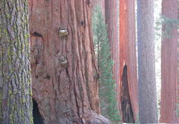
Forest stand age data simply provide an integer value, in years, since a given pixel of land was last disturbed, or since a "new" forest parcel was established. Forest stand age data are provided at the same 250 meter resolution as baseline and projected land-use and land-cover (LULC) data. Note that all pixels mapped as "clearcut" during the baseline 1992 to 2005 period represent forest clearcuts as mapped by remote sensing data. Stand ages for the baseline period are thus based on the highest quality, "real" data available. Clearcutting and the resultant effects on stand age were modeled within the FOREcasting SCEnarios of Land-use Change (FORE-SCE) model for the projected period from 2006 to 2050.
Suggested Citation
Zhu, Zhiliang, ed., Bergamaschi, Brian, Bernknopf, Richard, Clow, David, Dye, Dennis, Faulkner, Stephen, Forney, William, Gleason, Robert, Hawbaker, Todd, Liu, Jinxun, Liu, Shuguang, Prisley, Stephen, Reed, Bradley, Reeves, Matthew, Rollins, Matthew, Sleeter, Benjamin, Sohl, Terry, Stackpoole, Sarah, Stehman, Stephen, Striegl, Robert, Wein, Anne, and Zhu, Zhiliang, 2010, A method for assessing carbon stocks, carbon sequestration, and greenhouse-gas fluxes in ecosystems of the United States under present conditions and future scenarios: U.S. Geological Survey Scientific Investigations Report 2010–5233, 188 p. (Available from USGS).
Methods
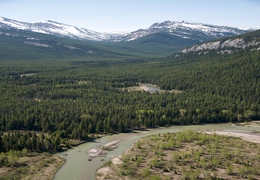
An initial stand age layer was constructed for the 1992 date (the beginning of our analysis period) using historical remote sensing data and a sample-based data set of forest structure. Vegetation Change Tracker (VCT) data used historical databases of Landsat imagery to map parcels of land that had been disturbed from 1984 to the present. Any pixel recorded as disturbed in VCT data from 1984 to 1992 was recorded as the appropriate age for the initial 1992 stand age image. For areas not recorded as disturbed in the VCT, sample data points from the Forest Inventory and Analysis (FIA) data were used to create an interpolated stand age layer for 1992. The composite image of VCT and interpolated FIA data provides initial 1992 stand age for each 250 meter pixel.
Forest stand age is tracked as the FORE-SCE model iterates from 1992 to 2050. Forest stand age is increased by a value of "1" for all undisturbed pixels in a given model year run. Stand age is reset to a vale of "0" for pixels modeled as clearcut for a given year. A stand age of "0" is also assigned to new forest pixels established through the conversion from other land-cover classes. The forest stand age layer also is used to ensure realistic clearcutting cycles. For example, in an ecoregion where the cutting of Douglas Fir represents the primary commercial species harvested, FORE-SCE would restrict "evergreen" forest pixels from being cut until they reached an age of at least 50 years, mimicking a realistic cutting cycle for Douglas Fir harvest. Note that no mechanism accounts for natural mortality, meaning any forest pixel undisturbed throughout the simulation period would continue to indefinitely "age".